
Geospatial Damage Assessments
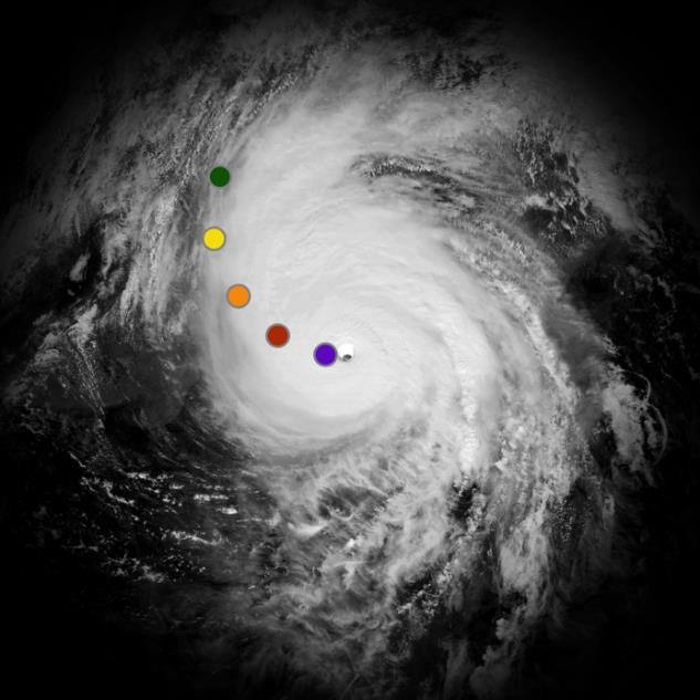
When a large-scale disaster strikes, the Federal Emergency Management Agency (FEMA) needs a picture of the damage, and it needs it fast. Since at least the 2017 hurricane season, when Harvey, Irma and Maria hit, FEMA analysts have assessed damage remotely from satellite and aerial imagery, with the goal of understanding the full extent of a disaster within 72 hours. That work is called geospatial damage assessment, or GDA.
Speed matters because of how federal aid works. Before federal help can flow, a state's governor must request a major disaster declaration. That request rests on a damage assessment showing the disaster is more than state and local governments can handle. Traditionally that meant teams on the ground going house to house, which can take days or weeks.
What's new is who helps. When a large disaster outstrips FEMA's own analysts, FEMA can now draw on vetted outside volunteers, and since January 2025 the U.S. Coast Guard Auxiliary has been one source. The GDA Project is an official U.S. Coast Guard program, a partnership among FEMA, the Coast Guard Office of Emergency Management and the Auxiliary. It is administered by the Auxiliary's Emergency Management and Disaster Response Directorate, known as the Q-Directorate. Members serve as Auxiliarists under Coast Guard orders, while FEMA directs the day-to-day work. Working from home on FEMA's damage assessment platform, the GDA team builds a structure-by-structure map of the damage that local, state and federal emergency managers use to understand the scope and scale of an event.
The Project So Far
Since it began, the GDA Project has responded to typhoons, hurricanes, tornadoes and floods in the United States and its territories, and its work has supported several federal disaster declarations.
In June 2026, the team took part in a three-day, full-scale joint training exercise with FEMA and the Civil Air Patrol to sharpen its skills and show that the volunteer organizations can work together. Team members practiced assessments using open-source research plus satellite and aerial imagery. July was a particularly busy month, as the team responded to tornadoes and floods in four states in quick succession.
The Work
The heart of the work is comparing satellite images from before and after an event to determine its impact, but sometimes the mission is a bit different.
Aerial imagery. FEMA may receive photos from the Civil Air Patrol taken at an angle from a moving aircraft, known as oblique imagery. The team must match each photo to its location on the map and, where there is damage, mark it on the map with a damage assessment point. Most points mark damaged structures, but the team also marks hazards such as downed trees and debris piles. Pinning down where an angled photo was taken can take some work.
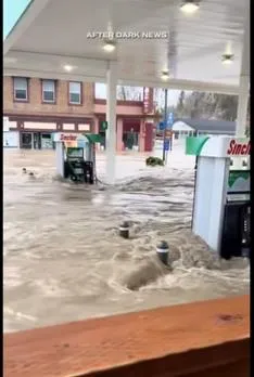
Open-source assessments. Cloud cover can keep new satellite images from being taken, but the internet often holds valuable information posted by local news, residents or law enforcement showing water levels, downed trees or damaged buildings. Then the job is puzzle solving: matching a video with no location information to an address, using clues such as a distinctive roofline or a gas station's name.
What a Deployment Looks Like
Assignments usually come with about 24 hours' notice, sometimes less. When called up, team members are expected to work at least a two- to three-hour shift on each day of the call-up. A day's work can run from a few hours to a full day ending at 5 p.m. Eastern (2 p.m. in Bellingham), and a call-up may last one day or several.
Each day includes a mandatory Zoom call, used for the daily briefing, mission updates and help with tricky assessments. If you share your space with anyone, you'll want headphones, because the conversation is fairly continuous.
The work also comes with firm ground rules. Volunteers may not do GDA work in public places such as coffee shops or parks, may not use public Wi-Fi, and may not post photos or descriptions of their GDA work on social media. Any public mention of GDA involvement must be approved in advance under Coast Guard social media rules.
How to Join
To be accepted for training, you must be an Auxiliary member in good standing with Core Training, the Auxiliary's required basic training, complete. Joining the team takes five steps:
- Fill out an application.
- Watch an orientation video.
- Complete about three hours of training.
- Pass an exam, which takes about an hour.
- Receive your team lead's recommendation for deployment.
The training teaches you to apply defined criteria to assess damage, and the self-paced exam is given in the practice environment. Once certified, you take a recertification exam each year, and you must log on to the assessment platform at least once a month or your login is deactivated.
Is GDA for Me?
- Do you enjoy learning new software?
- Does your computer have enough power to handle heavy graphics and web applications?
- Do you have private high-speed internet access?
- Can you adapt to changing circumstances?
- Can you deploy from home on 24 hours' notice, sometimes less, during regular Eastern time zone business hours?
- Can you apply defined criteria over and over without letting your attention to detail slip?
If you answered yes, you can apply on the Q-Directorate's GDA Project page on the Auxiliary members' website (login required).